Wildfires Near You
Understand wildfires based on the latest incident report information available
Enter zip code, city, or address
What's Happening Now?
Discover fire news and recent wildfire figures.
- Active Fire Perimeters Now
- 🔥 19
- New Fire Perimeters
- 🔥 3
- Wildfires YTD
- 🔥 53K
- Acres Burned on Fire Perimeters
- 🌲 633.6K
- New Personnel Assigned Today
- 👩🏾🚒 7.6K
- Acres Burned YTD
- 🌲 4.5M
Understand Your Wildfire Risk
Wildfires
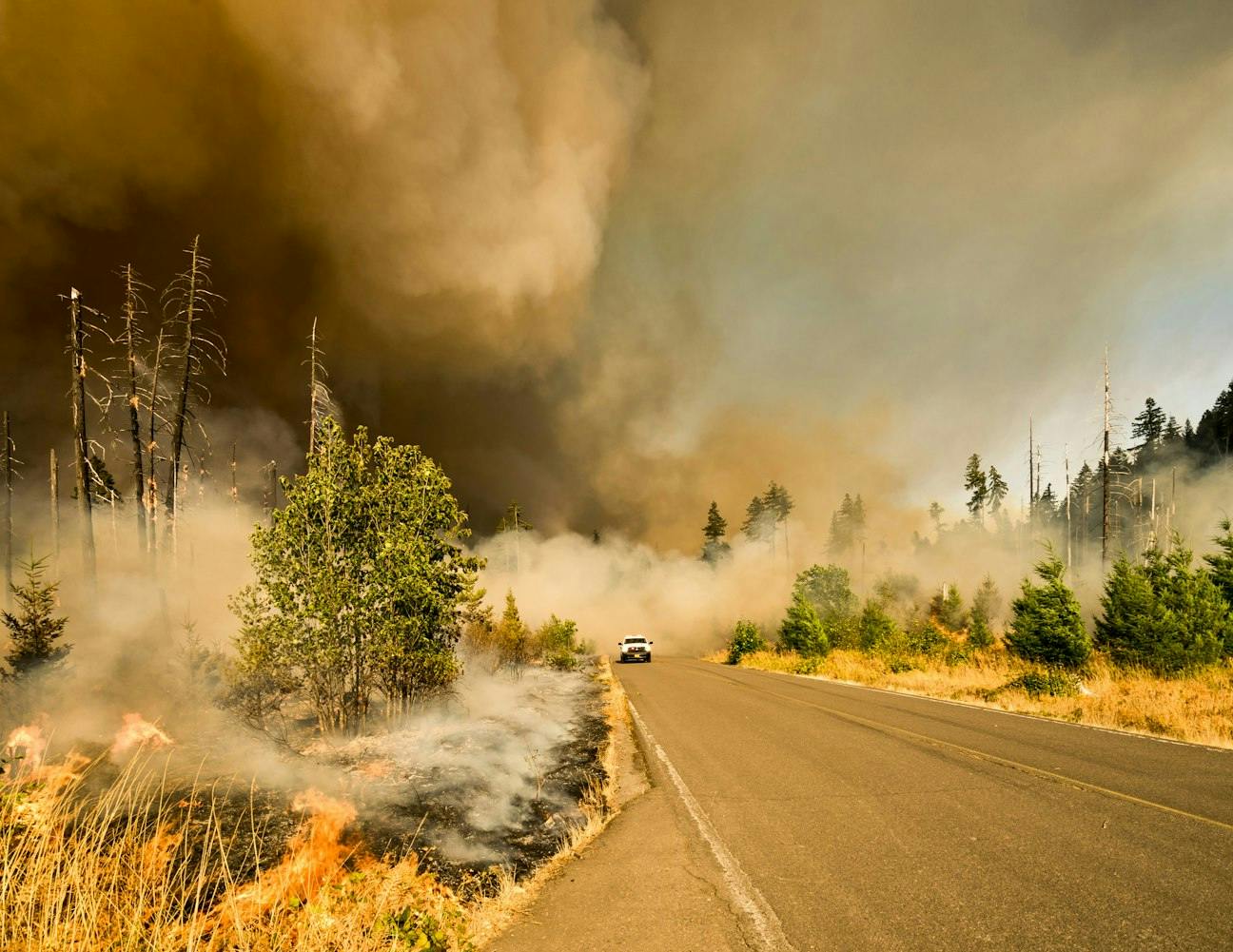
Wildfires can move and burn large areas at an incredible speed leading to significant damage to both natural areas and property. In the United States, they are becoming more frequent and intense in some areas and proximity to wildfires may reduce property values.
6 minute read

Climate & Environmental Hazards
Uncover Even More
With AreaHub!
AreaHub is a one-stop nationwide database of climate, natural and environmental factors in the United States.
Gain environmental intelligence+™ and actionable insights with AreaHub. Understand potential risks & other area factors near your locations, like wildfires, extreme weather, hurricanes, heatwaves, parks & preserves, landfills, powerplants, and more - as well as details and maps - with AreaHub.